Mustagh Resources :: Our services
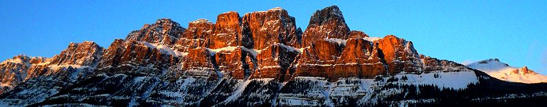
The Mustagh Tower (23,862 ft) rises above the Baltoro Glacier in the Karakorum Himalaya, Pakistan
- 3D Land Seismic Program Design
- Field parameter testing and optimization, technical quality assurance of field operations
- Training in various aspects of the seismic method
- Quality control of seismic data processing
- Management of Land Seismic Programs
3D Land Seismic Program Design
Mustagh is a world leader in land 3-D program design. We perform a detailed analysis of the target to be imaged and review existing data, maps and objectives with the client. We calculate the optimum parameters for each area and calibrate our calculations against observations from existing data. Our experience with modern instrumentation and field methods enables us to optimize a design for image quality and cost effectiveness.
We continually conduct research and study feedback and results of past designs in order to improve our product. We have developed a great deal of software to assist in program design and planning.
We have designed over 3000 surveys in more than 50 countries spanning 6 continents.
Field parameter testing and optimization, technical quality assurance of field operations
Mustagh has developed special expertise in the use of recording equipment to optimize seismic data quality. We have conducted many field experiments using various instrumentation options. We continually research new developments to understand how to get the most out of seismic data. We have been formally recognized by Input / Output "in recognition of our contribution to the advancement of technology in the geophysical industry".
We have amassed a considerable amount of field portable evaluation and processing equipment. We test and analyze the use of recording filters, vibroseis sweep optimization, instrument and geophone quality control (both recording instruments and vibroseis control instruments). Data quality is often enhanced by prudent selection of filters, pre-amp gains, instant evaluation of geophone pulse tests, and general parameter optimization.
Our familiarity with seismic field operations allows us to quickly evaluate the effectiveness of an operation and assist the crew in providing the optimum product to the client. Mustagh performs parameter testing and quality assurance on about 60 crews and programs each year. Our visits are usually only one or two days but can extend for the duration of the project.
Training in various aspects of the seismic method
We have developed several training programs, each of which has been presented numerous times. Our total student throughput over the past 27 years has exceeded 3000 participants. We continually update our materials and notes to ensure the students benefit not only from the extensive background and experience of the geophysical industry but also from the latest research and development.
Check out our course summary, including course outlines and registration.
Quality control of seismic data processing
We are knowledgeable in most modern processing techniques and are well equipped to assist the processor in selecting processing flows and options. We pay particular attention to statics calculations and application, velocity analysis effort, and implementation of deconvolutions. We work with the processor to retain the optimum frequency bandwidth of the data and to resolve any difficult noise problems. We are gaining considerable experience with pre-stack migration methods.
Management of Land Seismic Programs
We manage many field programs on behalf of some of our clients. We provide cost estimates, send out bid requests, reconcile the various bids which are received, contract permit agents, surveyors, drill pushes and other sub-trades as necessary to accomplish the client's objectives. We assist the contractors in solving problems which arise during the implementation of the program and track costs as the job progresses. We report to the client and solicit his input as dictated by his desired level of involvement.
Mustagh
Resources Ltd.
Norm Cooper, PGeoph, President
Email:
ncooper@mustagh.com
Yajaira Herrera, MSc.,
Geophysicist
Email: yajaira@mustagh.com
Ph: +1 (403)
609-2256
Fx: +1 (403)
609-3877
Cell: +1 (403) 680-6676